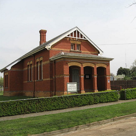
For my major project I volunteered with the Romsey Lancefield & Districts Historical Society. While volunteering, I sorted through their map collection in the Old Lancefield Courthouse and organised the maps while creating an Excel document to reflect their order. I was asked to create this database to make it easier for the Society’s members to see which maps they have and to locate them. My project is useful mainly internally in the Society as they are often asked to research individual properties. Maps are useful for this research as they can provide information on historic landowners as well as property boundaries and subdivisions. I had the aim with this project to make it easier and quicker to find individual maps as they are ordered to match the spreadsheet. It also makes it easy to see which maps are included in the collection, without the need of searching through all the physical maps. I was not given a template so looked online at websites such as Trove and the US Library of Congress as a guide to see what information they listed for their maps. I then chose to set out the information in the way I believe was the most clear and detailed.
The workbook I created contains four sheets which reflect the order in which the physical maps are organised. These sheets from left to right in the workbook are: Topographic, Parish and Related, Other and Small Maps. The sheets Topographic, Parish and Related, and Other all relate to the large maps. All small maps are contained in the Small Maps sheet.
The physical maps are organised in the same order as they are listed in the Excel spreadsheet. Large maps are ordered with the first map at the top of the first sheet (Topographic) being at the back of the cupboard, then the order of the maps moving forwards follows the order on the Excel spreadsheet, down the sheet and onto the next sheet in order from left to right. Small maps are also ordered on the rack in the order they are listed down the sheet. Maps are arranged into subcategories within the sheets then organised into alphabetical order based on location within each subcategory, going down the sheet.
All categories of the maps include the following headings: Location (eg. Lancefield), Year (eg. 1947), Scale (eg. 1:63360), number of copies, Description (brief notes on what is shown in the map if additionally information is useful) and Other Notes (other text given on the map). Additionally, each category includes details specific to that map type. Topographic maps also include the headings: Map No. (eg. 7823-II SW), Zone (eg. 55H) and Series (eg. R754). However, small maps do not include series numbers. Parish and related maps also include the headings: Township (eg. Kilmore), Parish (eg. Bylands), County (eg. Dalhousie), Shire (eg. Kilmore), Publishing/Production (eg. Drawn and Reproduced at the Department of Lands and Survey. Melbourne. 1961), Authority (By Authority: H. J. Green. Government Printer, Melbourne.) and Gaz. Number (eg. Gaz 61-402).
Small maps are divided into Topographic, Parish and related maps within their sheet and follow the same headings as the associated large maps. Topographic maps are at the top of the page, followed by the Parish and related maps which use separate headings to the Topographic maps. Where information is not present on any individual map, the box for that heading is left blank.
For the “Other Notes” section I directly typed additional text that was given on the maps which in some cases included partial sentences and words or unlabelled numbers. These were included as they may still be of interest to certain readers. This section comprises of multiple columns and continues out to the right of each sheet.
The workbook may be searched using the computer’s search function to locate specific map details, such as any maps for the location of Lancefield or for a specific year. Also, if new maps are added to the collection they can easily be inserted into the document by first identifying the map type, then locating their place alphabetically within that map type, before adding the details of the new map in its correct location. Excel was chosen as the format for this database as documents can be easily rearranged or added in this way, such as if maps are sold or new maps are bought, or if new information is discovered about a particular map which would be useful to note in its listing. This allows the project long term viability.
Alongside the Excel spreadsheet I have written an executive summary to explain how the Excel document and physical maps are organised as well as to explain how to use the document. As the spreadsheet is primarily for internal use by the Society, there is no need to publicly market my work outside the of Society. However, the executive summary functions to give an overview of what is included and how to use it so the document can be used long term without the need to explain it to each individual.