Creating a walking tour guide for the Mosman Historical Society has been an incredibly rewarding experience. My familiarity with my project’s topic, its accessible scope and helpful advice from my organisation made it a pleasure to research and compile my final product.
I spent a significant amount of time collating sources and information regarding the Spit and Chinamans, before grouping these into common areas and then conducting the walk myself several times to see where I could best allocate each section of information.
My project’s implicit argument is to demonstrate that history can enjoyably accompany a range of everyday activities. In short, history is always worth seeking out! Many people may consider going for a walk in this local area, or they may be familiar with it through travelling through regularly, however, the history of it may be unknown to them. This concept does not just apply to the Spit, of course, and could apply to many scenarios and locations. My project proposes that engaging with local history and learning about a local area is a satisfying and rewarding endeavour.
My project satisfies a need by collating a vast range of sources, both primary and secondary, into a format that is comprehensive yet still easy to access and is engaging. It also nicely complements my organisation’s current array of walking tours in their online resources, and can act as an example for potentially transferring any current or future projects into online, interactive formats.
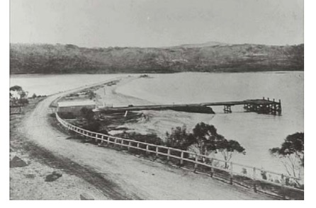
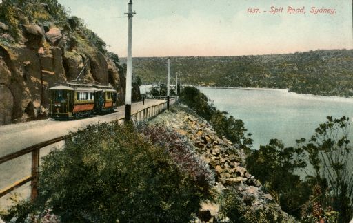
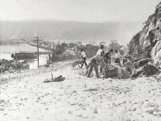
I made use of a lot of primary sources, particularly photographs, to ensure my project was visually compelling and to encourage audiences to continue reading through the content. The Mosman Library has a fantastic digital archive with lots of photographs and postcards, and I found it difficult to condense images I found into what would be most relevant and appropriate for my project.
There are also several public history projects, such as plaques, sculptures, and monuments, around the Spit which are somewhat distanced the primary walking track, for reasons of security I guessed. However, this means that many people are either not familiar with them, or unaware of them, as I uncovered when speaking with family and friends who have lived in this area for many years and had no idea as to their existence. I was able to incorporate these into my tour, which I feel added a nice extra dimension.
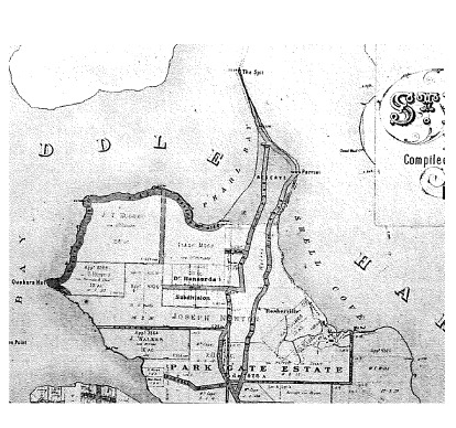
I created a document which contains my tour content written down and maps to accompany, and an online map version of my tour. I created a QR code for the online version, and incorporated this as well as the site’s URL into the written document. I am very grateful for this opportunity to contribute to my local community history.

